Burgas (Bulgaria) – the most detailed information about the city with photos. The main attractions of Bourgas with a description, guides and cards.
Contents
Burgas City (Bulgaria)
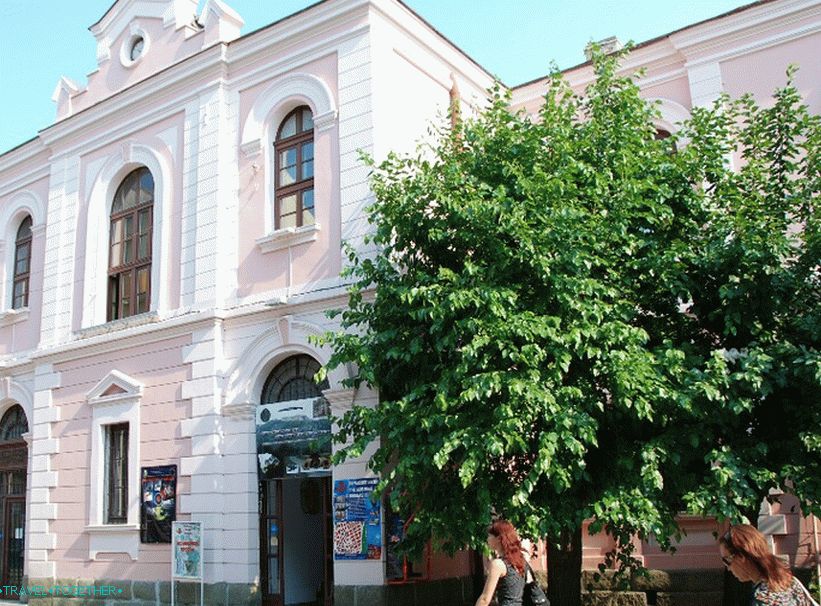
Burgas is the largest city in south-eastern Bulgaria, an important industrial center and seaport. Despite the fact that the neighborhood cities were inhabited in ancient times, he actually began built only in the late 19th – early 20th centuries. Today Burgas develops primarily as an industrial and commercial center. For tourists, the city can offer beach holidays and walks in great Seaside Park, excursions to museums and archaeological sites excavation, as well as day trips on other exciting places along the Black Sea coast.
- Geography and climate
- Practical information
- Story
- How to get there
- sights
- Video
- Maps and guides
- Comments and reviews
Geography and climate
Bourgas is located in south-eastern Bulgaria on the coast. Black Sea. The modern city occupies the western part of Burgas Bay, located in the eastern part of the same lowland. Burgas is surrounded by three lakes: Burgas, Atanasovsky and Mandra. The city has a subtropical climate with warm summer and mild in the winter.
Burgas is located 389 km from Sofia, 272 km from Plovdiv, 133 km from Varna and 335 km from Istanbul.
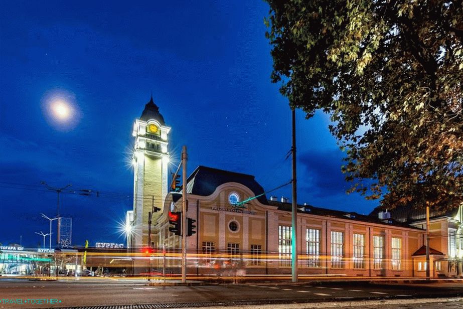 Railway railway station
Practical information
- The population is 211.7 thousand people. By population Burgas is the fourth city in the country after Sofia, Plovdiv and Varna.
- The area is 253.6 km².
- Currency – Bulgarian Lev.
- The language is Bulgarian.
- Time – UTC +2, in summer +3.
Story
In the ancient Greek period, a city was founded on the site of Burgas. Pyrgos. In the Roman period there was a military colony for war veterans during the rule of Vespasian. In the 4th century Roman The settlement was destroyed by the Goths.
Modern Burgas was founded in the 17th century on the place of the fishing villages. In fact, until the beginning of the 20th century it was a provincial town. After the First World War, Burgas began to grow rapidly and develop. Now it is a major industrial and economic center. Bulgaria
 Port
Port
How to get there
Bourgas has an international airport that has seasonal communication with cities in the UK, Germany, the Czech Republic, Switzerland, Sweden, Norway. Regular trains go to Sofia and other major cities in Bulgaria. Bus service is available from many cities of Turkey and Greece. Between Burgas and Batumi walks daily ferry.
sights
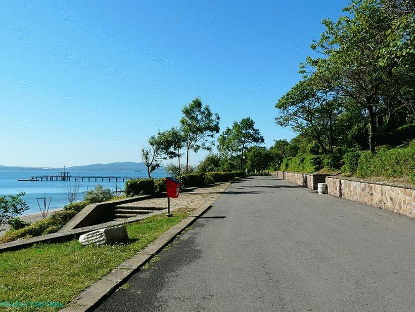 Seaside Park
Seaside Park – a huge green area on the Black Sea. For 72,000 m2 there is a forest park, elegant embankments with fountains, playgrounds, cafes, summer theater and more.
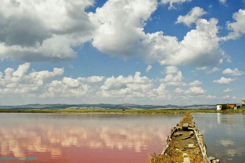 Atanasovskoe lake
Lake Atanasovskoe (in the vicinity of Burgas) is famous for its therapeutic mud and alkalis, and also has an unusual color of water.
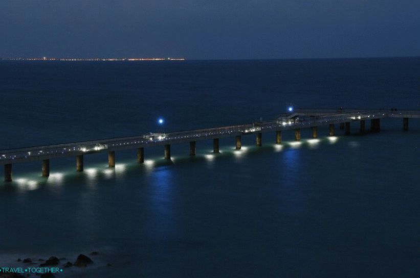 Pier
Pier
Pierce is one of the symbols of Burgas. It crashes into the sea and has length 300 meters. Pier is a very popular place to walks with wonderful sea views.
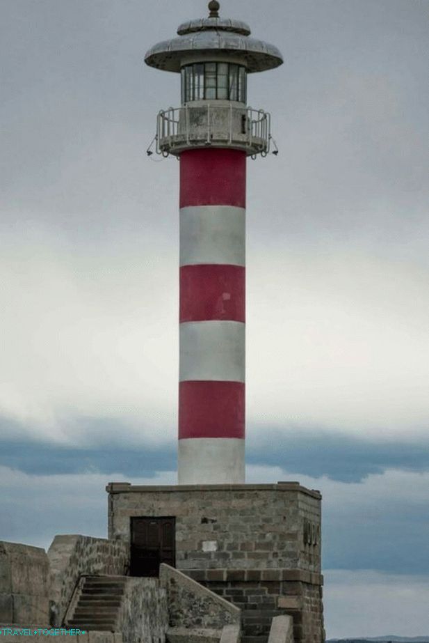 Lighthouse in port
The lighthouse, located on the port territory, was built at the end of 19 century.
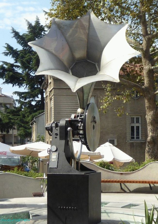 Gramophone
The gramophone is a 2 meter high sculpture in the city center, one of Burgas symbols and a popular meeting place.
 Cyril and Methodius Cathedral
Cyril and Methodius Cathedral – the main temple of Burgas, built in 1897 – 1907, designed by Italian architect Toscani. It is a single-nave basilica, the interior of which is divided. marble columns.
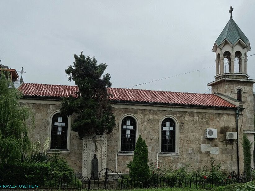 Armenian church
The Armenian Church is one of the oldest buildings in Burgas. it religious building was founded at the end of the 17th century. Presents is a simple single-nave building with a bell tower added during the period late renovations.
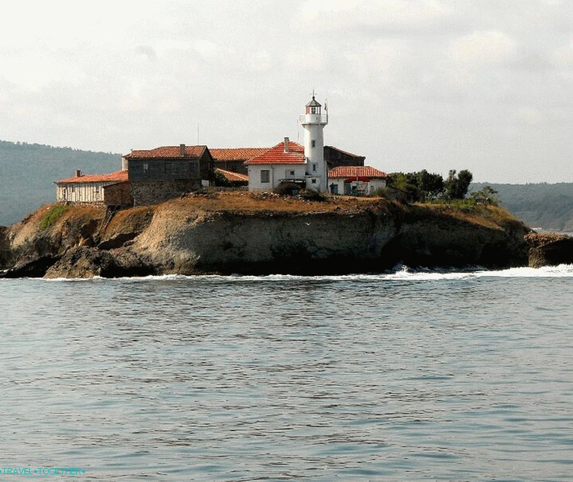 Holy Island Anastasia
Island of St. Anastasia – one of the most interesting cultural objects in the vicinity of Burgas. Throughout history, the island has been pirate lair, monastic shelter and prison.
 Archaeological the museum
Archaeological Museum – interesting archaeological finds times of the Thracians, the ancient Greek colonies and the Roman period. Also in Burgas there is a large ethnographic and historical museums.
Video
Maps and guides
City map